


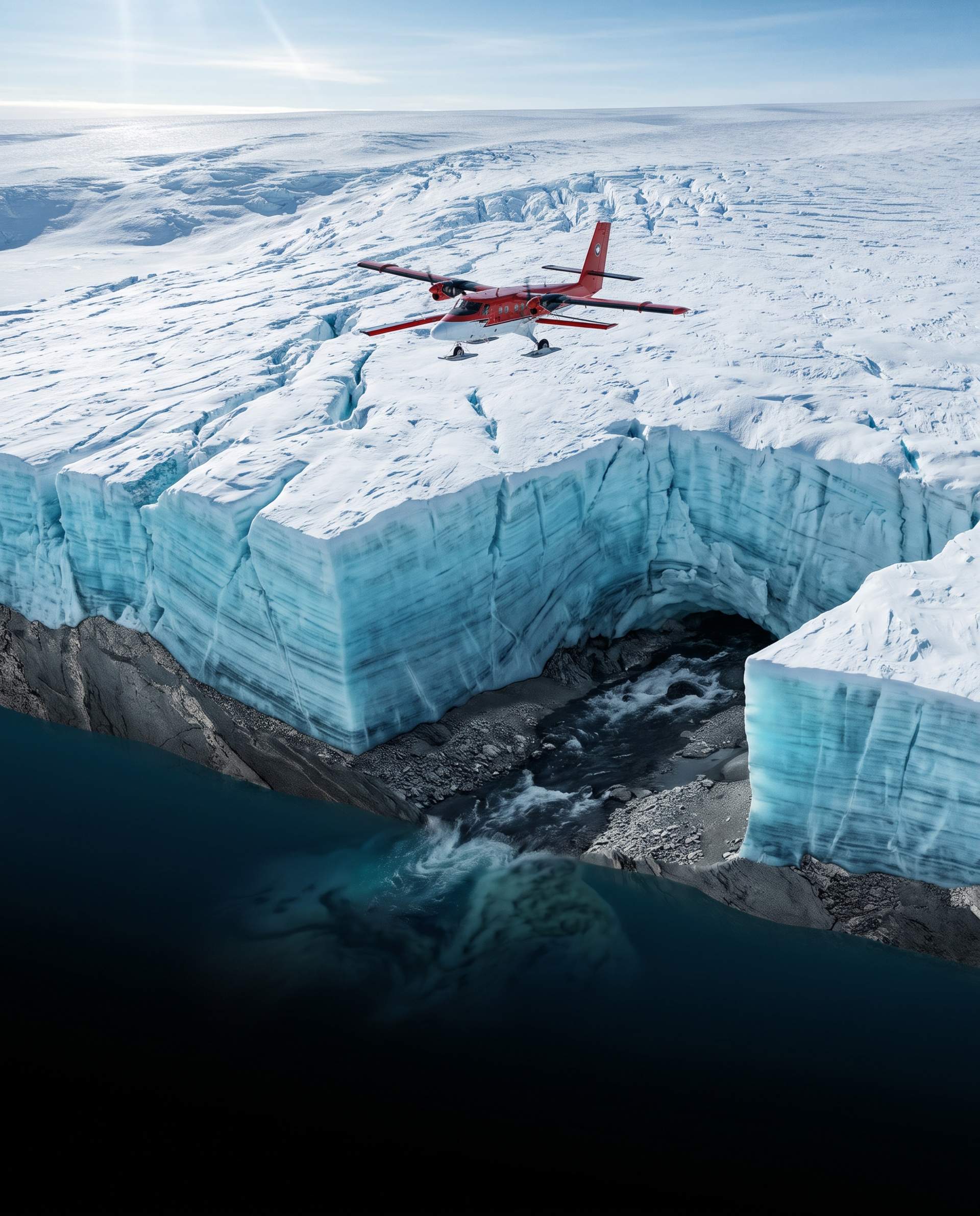
Glaciologists and polar researchers have mapped an enormous subglacial river network stretching over 800 kilometers beneath the Antarctic ice sheet, uncovering an active hydrological system that could fundamentally reshape scientific predictions of global sea level rise.
The discovery, published in Nature Geoscience by an international research consortium led by the British Antarctic Survey and Imperial College London, details a massive pressurized freshwater corridor draining an area the size of France and Germany combined. Flowing beneath kilometers of solid ice, the subglacial river empties directly into the Weddell Sea, carrying enormous volumes of basal meltwater that influence how fast the continental ice sheet slips into the ocean.
Mapping the Hidden Underworld of Antarctic Ice
Detecting a fast-flowing river buried beneath two to three kilometers of solid ice represents a remarkable technological breakthrough. For decades, scientists largely assumed the base of the Antarctic ice sheet was relatively dry and static, bound tightly to bedrock by sub-zero temperatures.
To uncover the hidden waterway, researchers conducted extensive airborne geophysical surveys using specialized Twin Otter aircraft equipped with deep ice-penetrating radar, gravimeters, and magnetic sensors. The radar pulses penetrated the frozen layers, reflecting distinctly off liquid water pools and identifying deep sediment canyons hidden beneath the ice.
By pairing airborne radar data with high-resolution satellite altimetry, glaciologists traced a continuous, pressurized channel carved into the underlying topography. The findings revealed that geothermal heat radiating from Earth's crust, combined with immense frictional pressure from overlying ice masses, melts the base of the ice sheet continually, feeding an interconnected network of subglacial lakes and rushing rivers.
How Subglacial Water Lubricates Ice Flow
The existence of such an expansive river system provides a critical missing puzzle piece in understanding glacier mechanics. Ice sheets do not simply sit motionless on bedrock. They behave like slow-moving plastic solids, creeping toward the coastline under their own immense weight.
When high-pressure water accumulates along the boundary where ice meets rock, it reduces friction drastically. The water acts like a hydraulic lubricant, lifting the base of the glacier slightly and enabling vast sheets of ice to slide seaward at speeds far faster than internal deformation alone would allow.
Glaciologists discovered that the subglacial river discharges warm freshwater directly underneath floating coastal ice shelves. Because fresh water is less dense than salty ocean water, it floats upward along the underbelly of the ice shelf, drawing warmer deep-ocean water into contact with the ice and accelerating basal melting from below.
A Challenge to Standard Climate Models
Until this survey was completed, the majority of global climate projections assumed that basal meltwater moved through slow, diffuse seepage across wide gravel beds rather than through fast, concentrated conduits. That conceptual gap led models to underestimate how rapidly localized surges in meltwater can destabilize entire glacier tributaries.
The research team noted that if atmospheric temperatures continue to warm, surface meltwater could eventually drain through crevasse networks to join this subglacial river, supercharging its lubricating effect. Such feedback loops would dramatically shorten the timeline required for major ice shelves to fracture and detach from coastal embayments.
Urgent Implications for Global Coastal Settlements
The discovery carries profound consequences for coastal nations around the world. Because existing computer climate models relied on older hydrological assumptions, global projections of ice sheet instability may have significantly underestimated the speed of polar ice loss over the coming century.
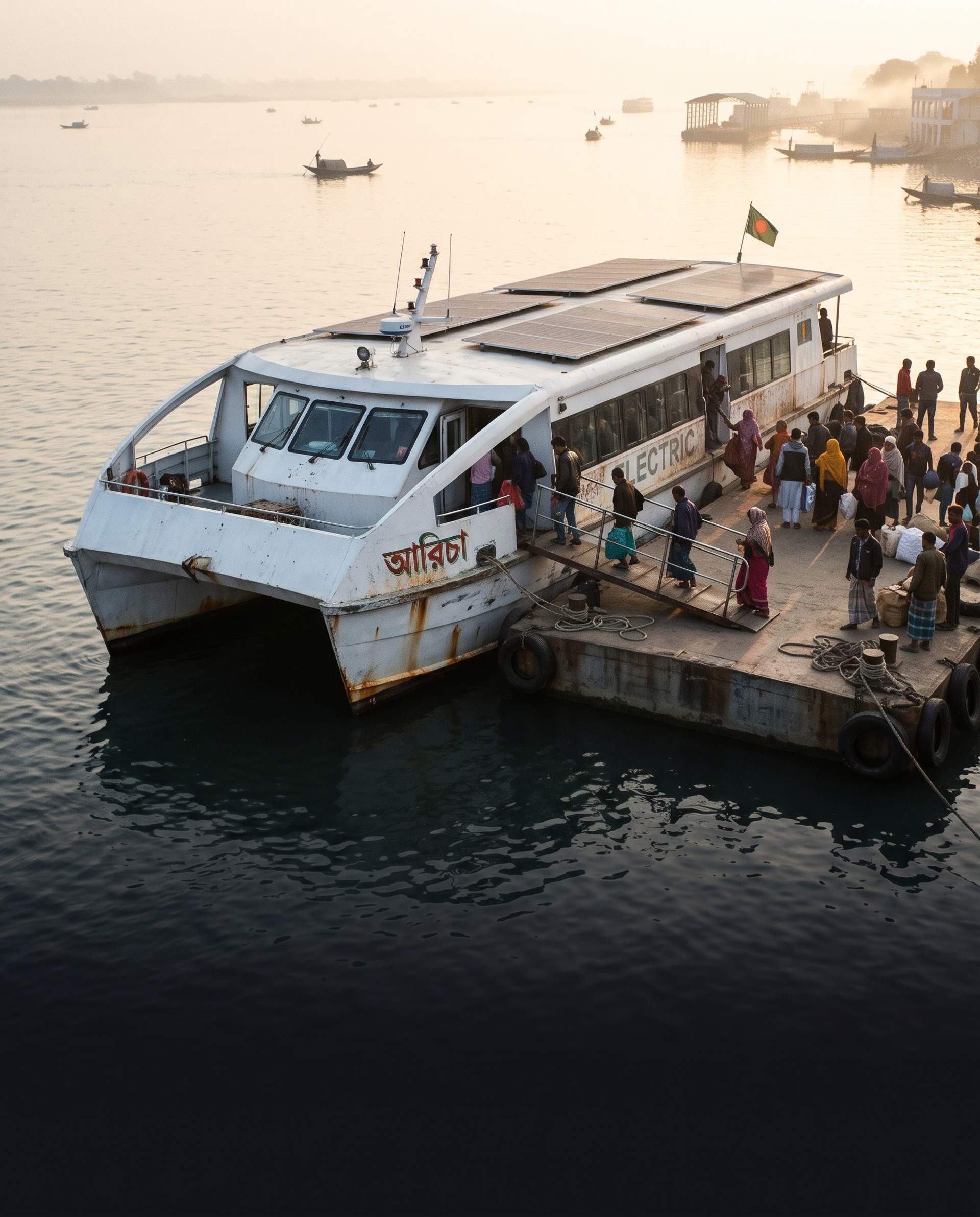
For low-lying, densely populated delta nations such as Bangladesh, where millions of people live within a few meters of current sea level, even modest increases in the rate of Antarctic ice melt translate into heightened risks of coastal inundation, saltwater intrusion into agricultural aquifers, and severe cyclone storm surges.
Next Phases in Polar Exploration
Scientific teams are now preparing targeted hot-water drilling expeditions to bore narrow access holes through the ice sheet directly into the subglacial channel. By deploying autonomous aquatic probes into the dark waters below, researchers hope to measure flow velocity, water temperature, and subglacial sediment transport directly, generating the empirical data needed to refine long-term sea level projections for the century ahead.


Comments
0